October 2010: A road trip through California and Nevada, taking in Point Reyes, Yosemite, Owens Valley and Death Valley. This was my first visit to the West Coast of the US and I was blown away by quite how diverse it is geographically - from snow-capped mountains to desert dunes, city beaches to giant redwood forests, all within a few hours' drive from each other.
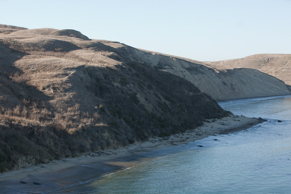
The view from Chimney Rock, Point Reyes National Seashore, Marin County, California. You can see dozens of elephant seals on the beach.
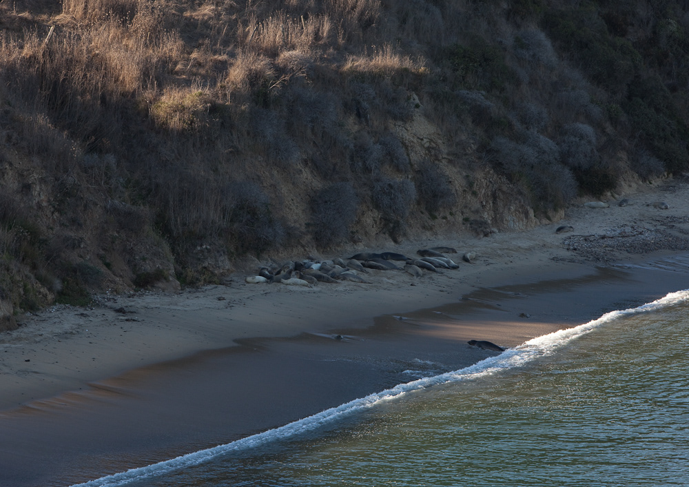
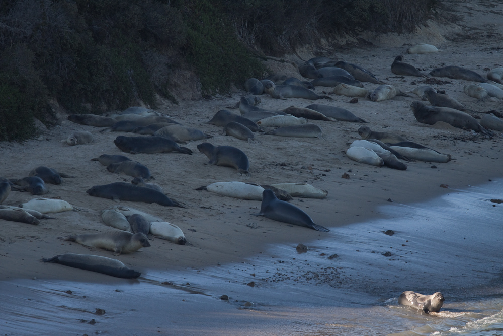
Elephant seals, dusk. Point Reyes National Seashore is about two hours north of San Francisco, but we were lucky enough to be the only people at the observation point.

Black-tailed deer, Point Reyes National Seashore.

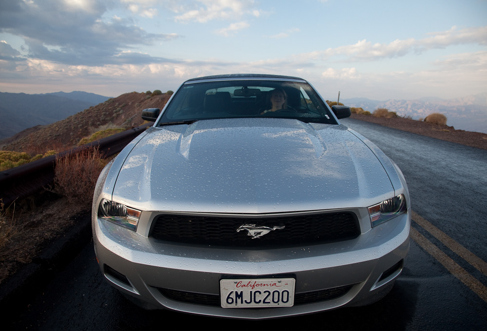
Nic with the Mustang, Yosemite.
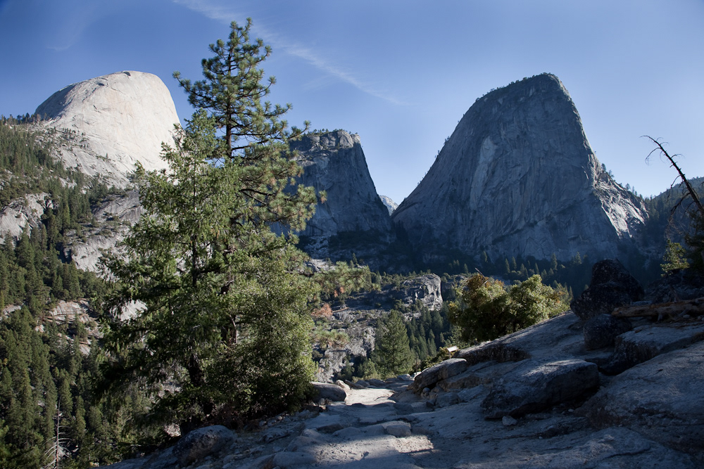
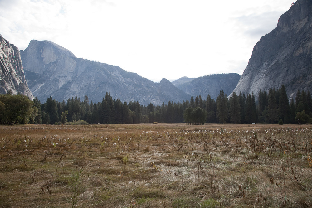
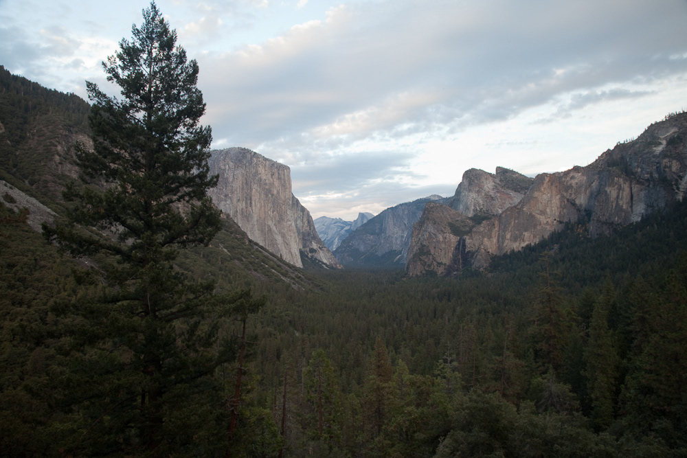
Half Dome (left-hand peak), Yosemite.
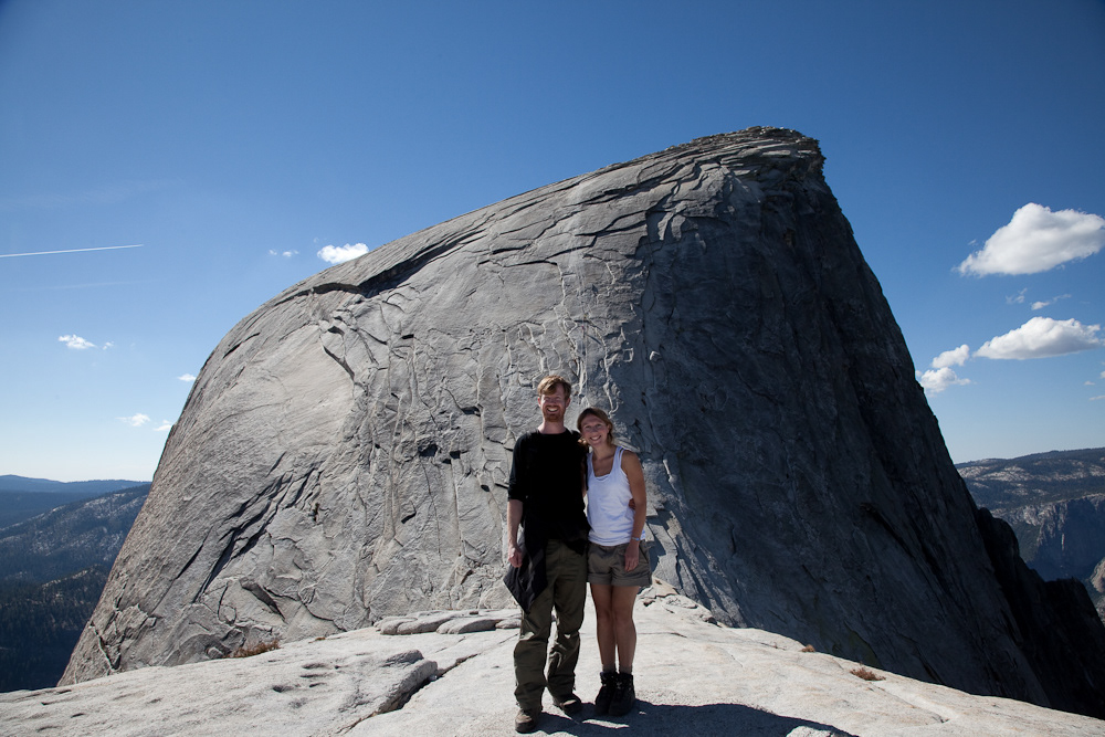
Two fearless adventurers in front of the final ascent for Half Dome.
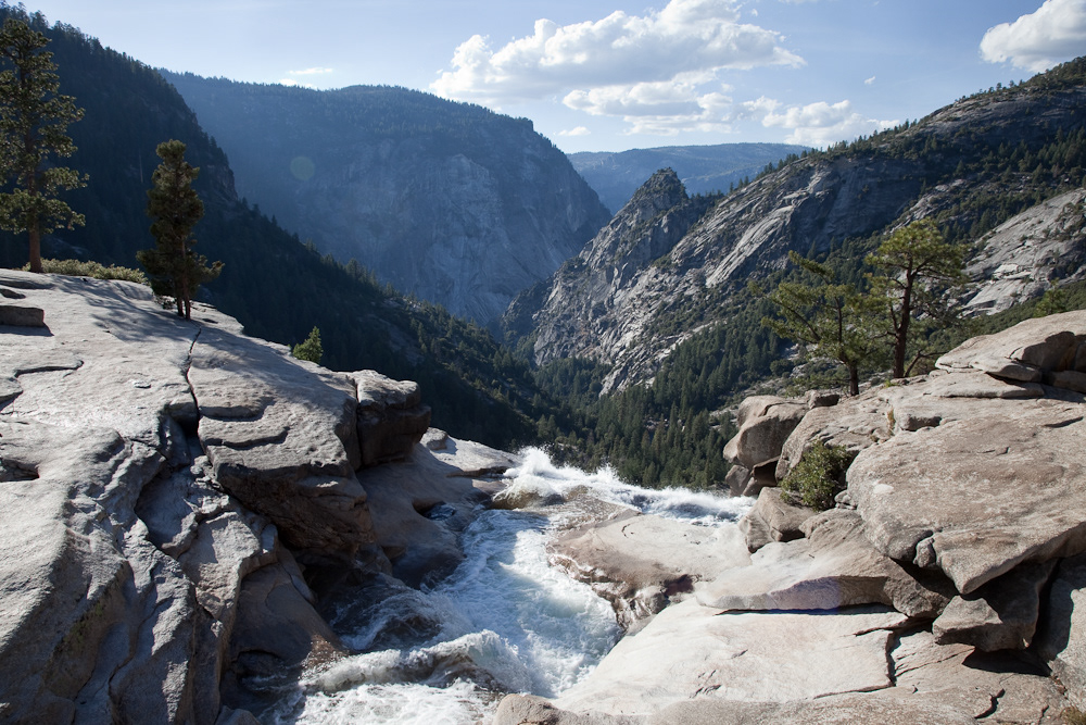
View down to the valley floor from the top of Nevada Fall.
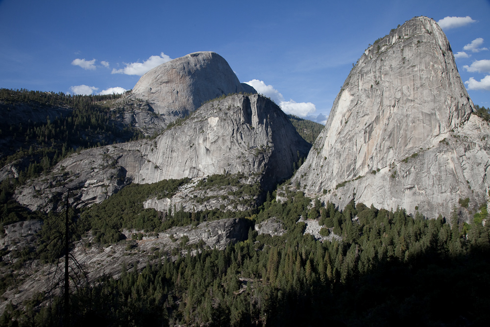
Half Dome (left-hand peak).
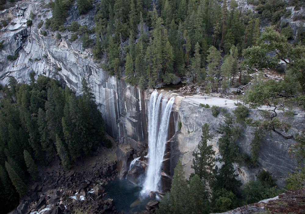
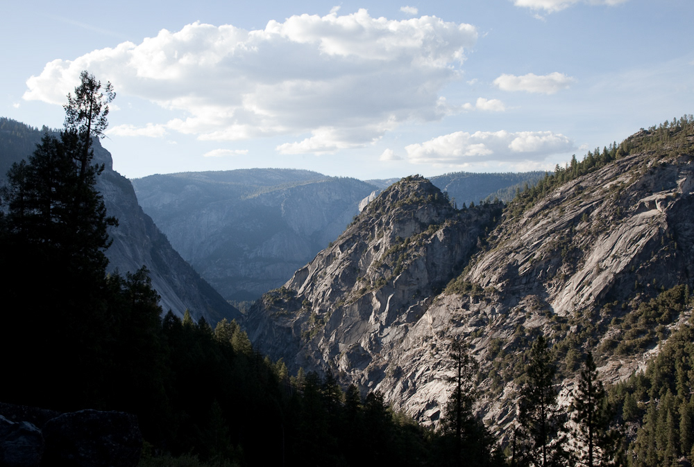
Vernal Fall, Yosemite.
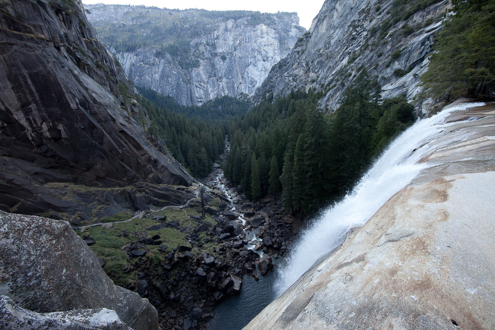
The view from Vernal Fall.

Coyote, Yosemite Valley floor.

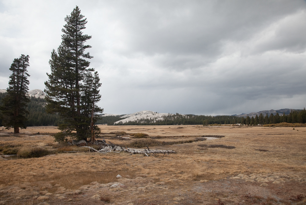
Wild cotton, Yosemite Valley.

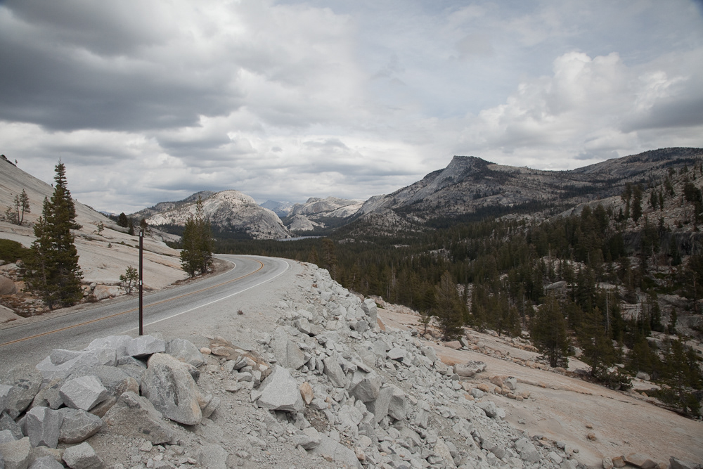
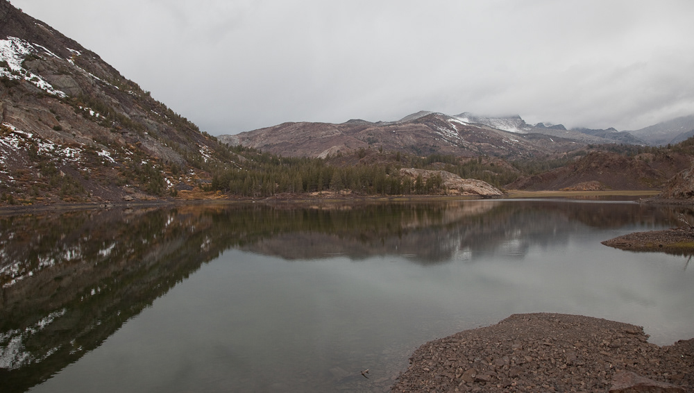
Unknown lake, Tioga Pass - Yosemite.
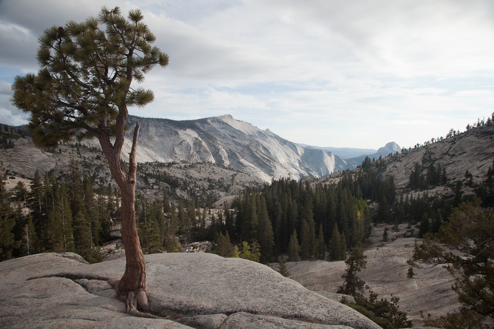
View from Olmsted Point, dusk, Yosemite.
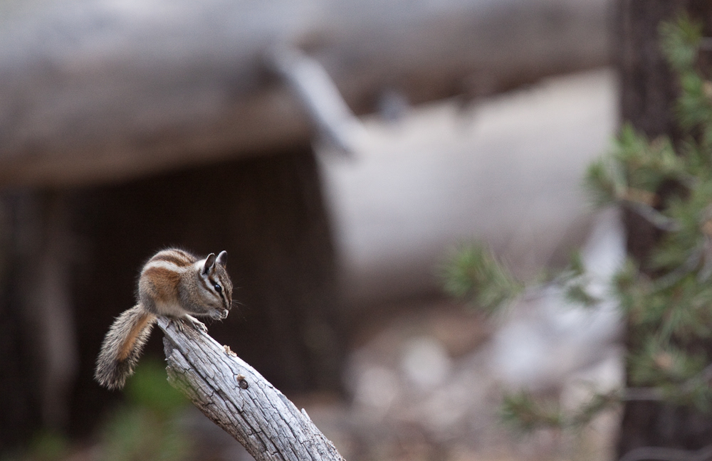
Chipmunk, Yosemite.
Sunset, Yosemite.
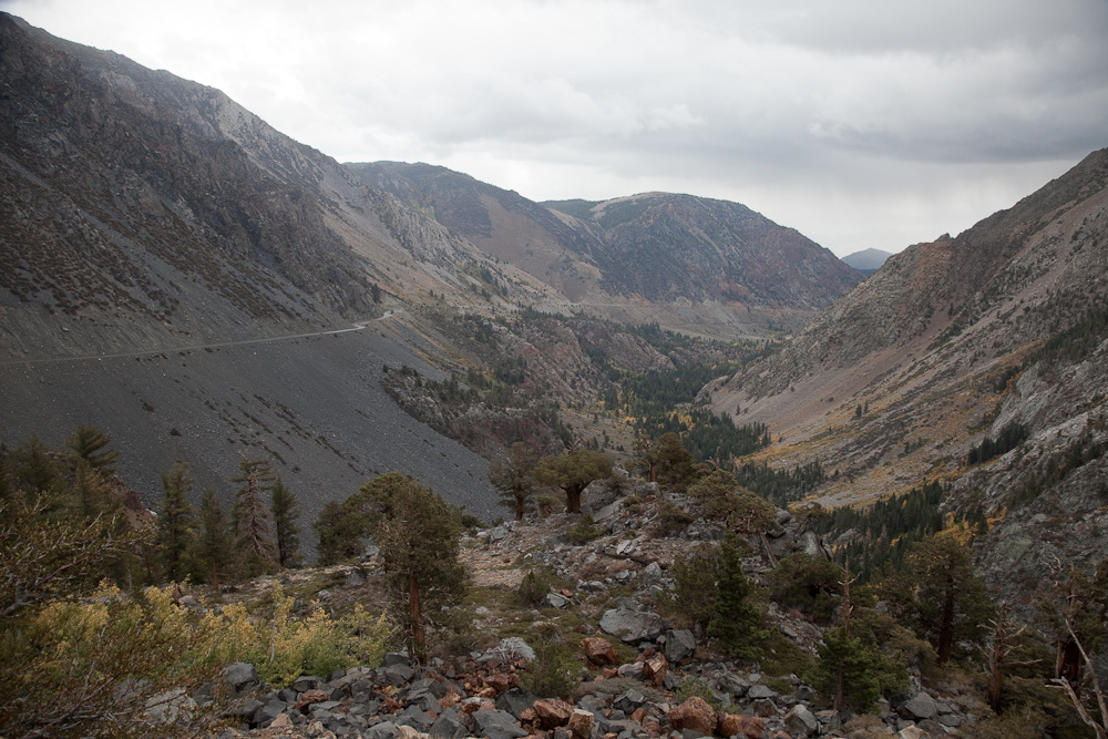
The road down into Owens Valley from Yosemite.
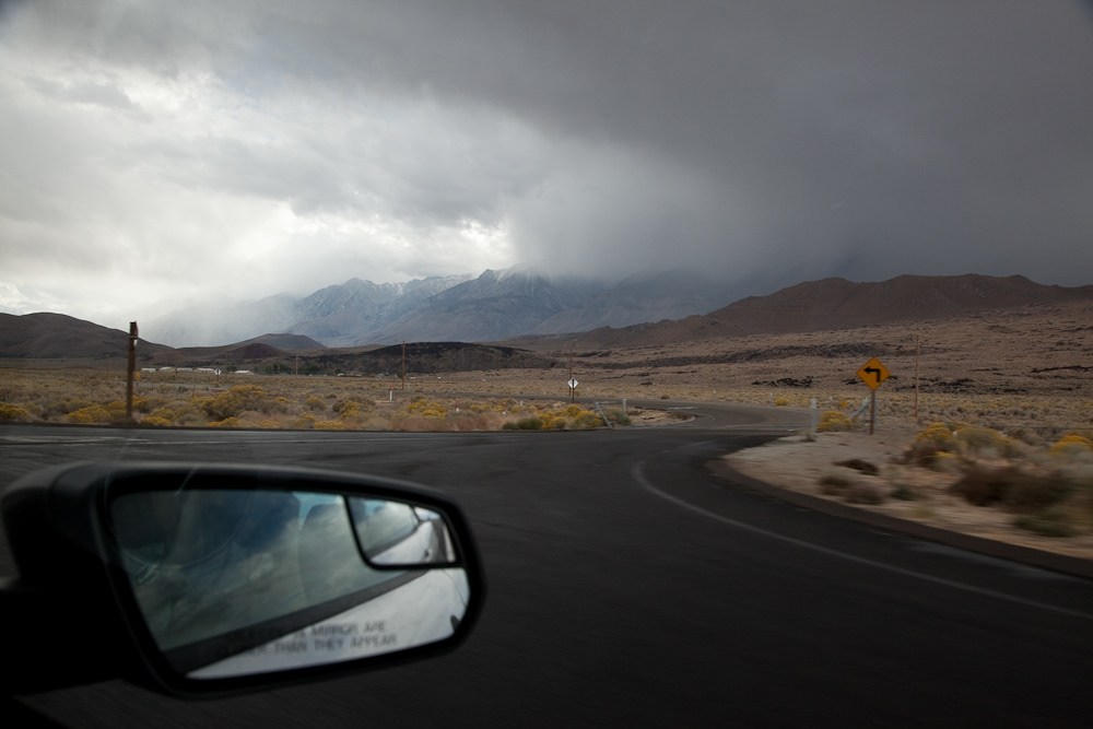
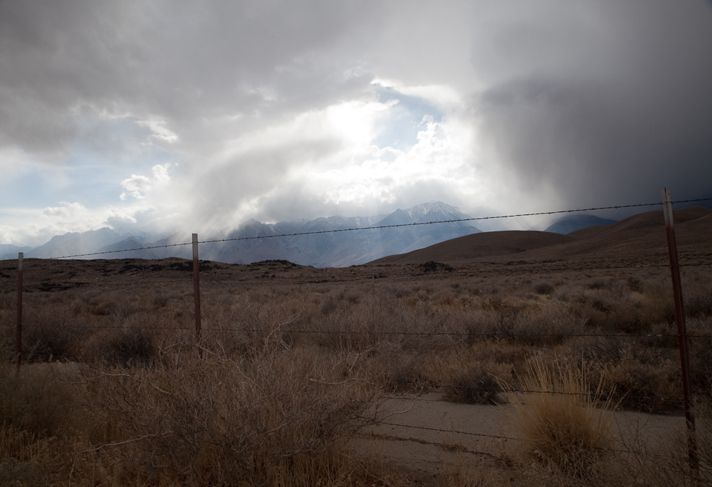
Storm brewing on the 395, Owens Valley.
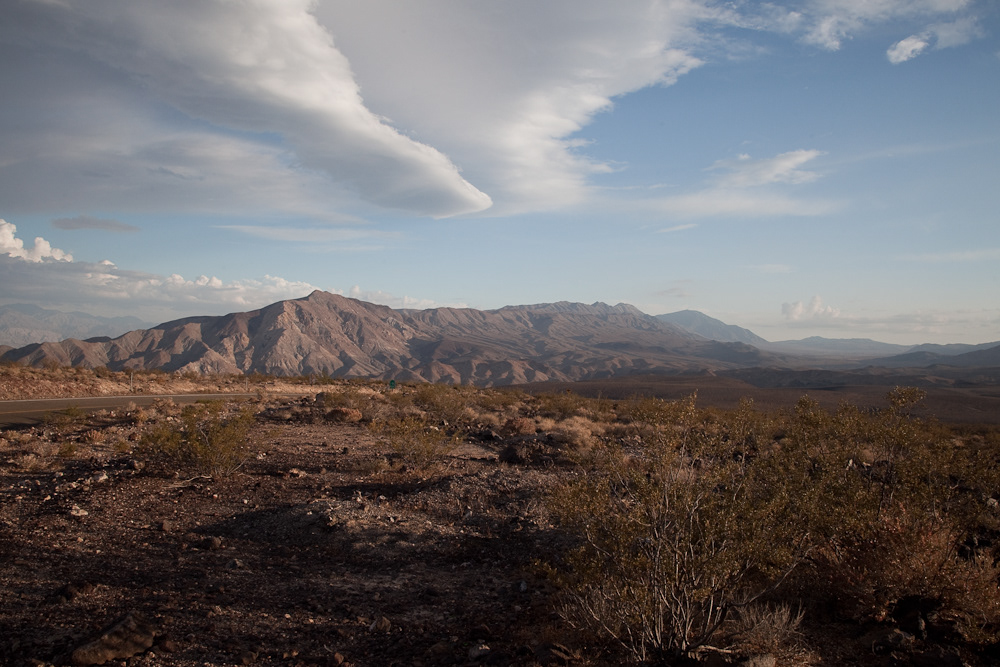
Sierra Nevada peaks from Owens Valley.
Approaching Death Valley on the 190.
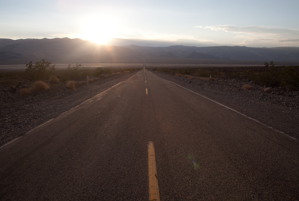
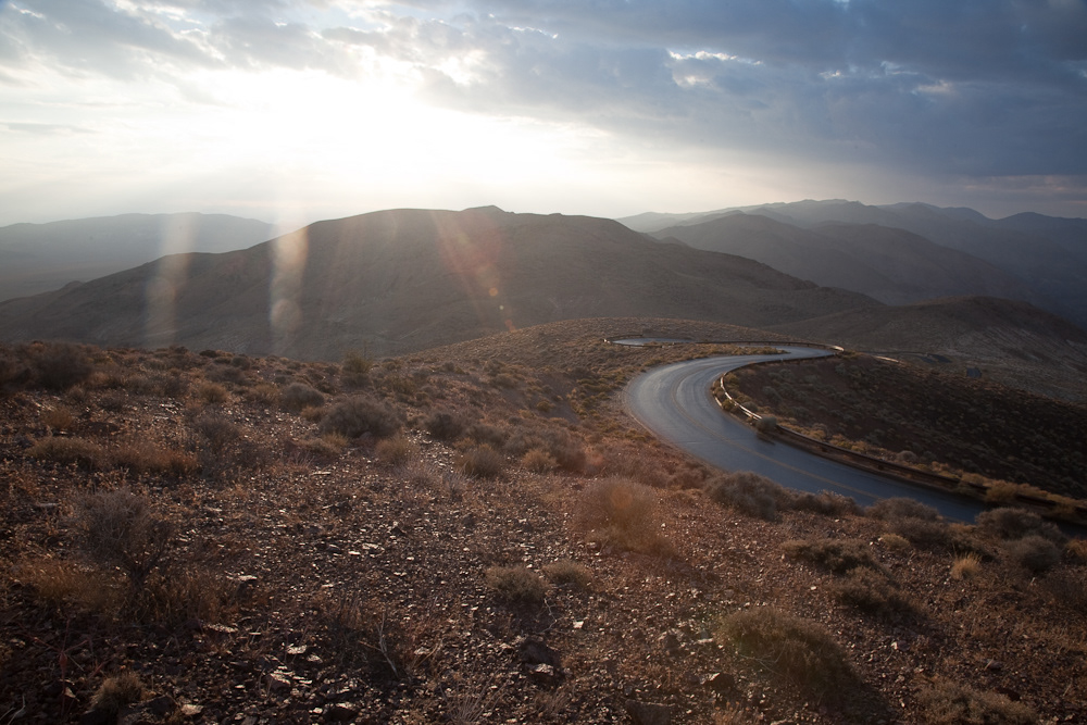
The road to Death Valley, dusk.

Dawn from Dante's View, Death Valley.
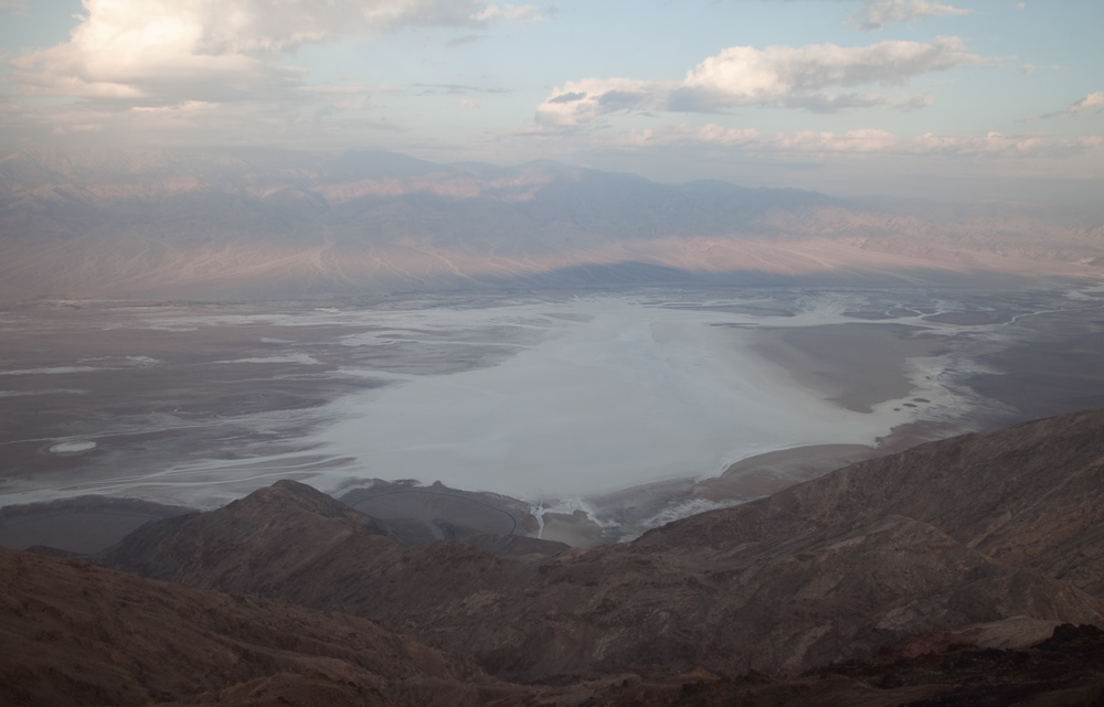
Dawn over Death Valley, from Dante's View.
The road up to Dante's View, Death Valley, dawn.


Nic at Devil's Golf Course, Death Valley.
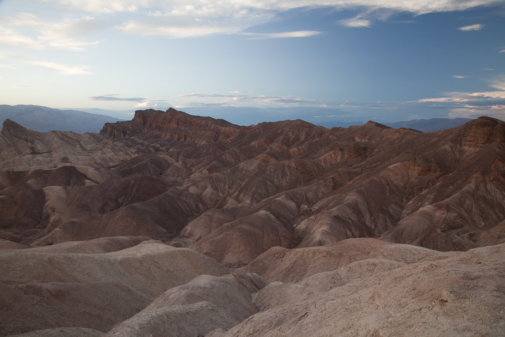
Sunset from Zabriskie Point, Death Valley.

Sunset over Zabriskie Point, Death Valley.
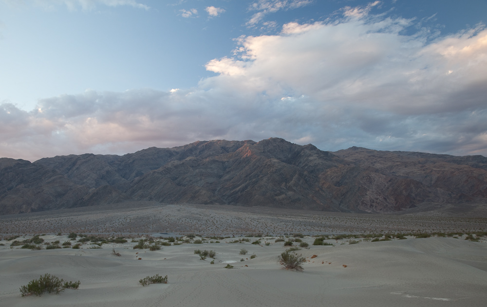
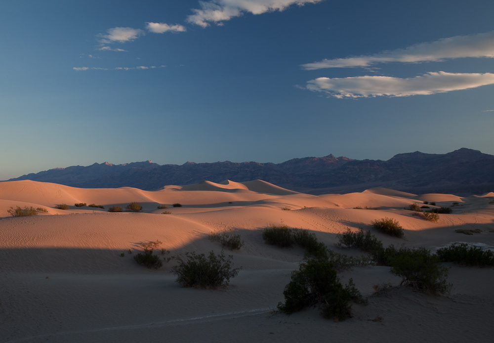
Dawn from the Mesquite Flat Dunes, Death Valley - near Stovepipe Wells.
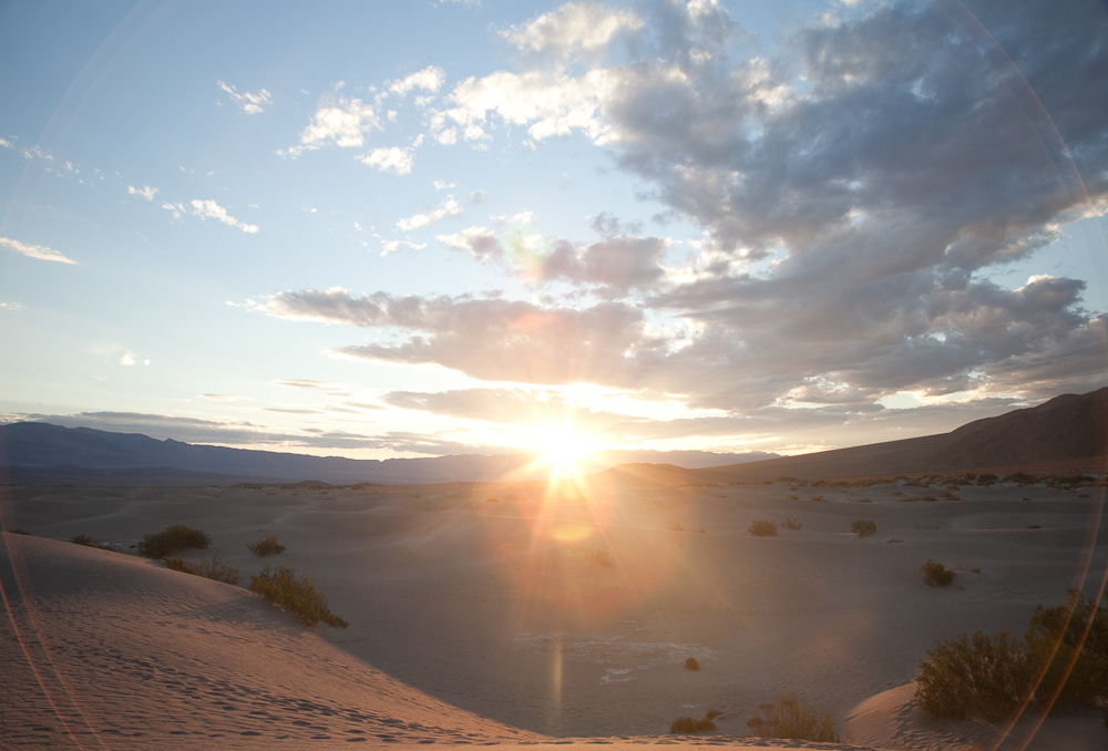


Capturing dawn over the dunes.

Rhyolite ghost town, Nevada, with Death Valley in the background - a relic from the gold rush era.
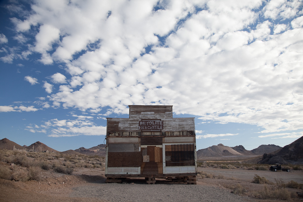
Abandoned store, Rhyolite ghost town, Nevada - on the road to Las Vegas.
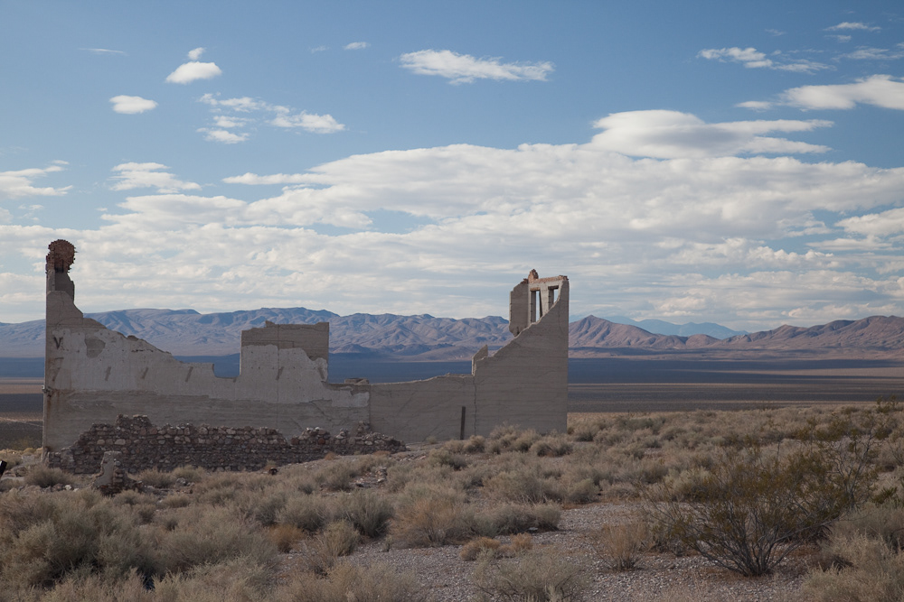
The view down to Death Valley from Rhyolite, Nevada.